RaritanLenape.org > Lenape People / Stories > Lenape History, Town by Town > New Brunswick, Piscataway & Franklin Township
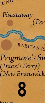
New Brunswick, Piscataway & Franklin Township
Piscataway, New Brunswick, Highland Park , Edison, Middlesex Boro, Somerset, Franklin Park, Middlebush

LONG BEFORE RUTGERS, LONG BEFORE RARITAN CROSSING.
Before Rutgers rose above the Raritan, before New Brunswick became a city, and before bridges connected the river's opposite banks, this was a vibrant Indigenous homeland shaped by water, woodland, and thousands of years of human footprints.
The Raritan was more than a river. It was a pathway connecting communities, a source of food, and a familiar landmark in a landscape the Lenape knew intimately. Along its banks, families fished, cultivated crops, gathered plants, and traveled between settlements. Smaller streams led inland toward fertile clearings, hunting grounds, and neighboring communities.
Today, universities, highways, neighborhoods, and commercial districts occupy much of this landscape. Yet beneath the modern geography lies a far older story.
New Brunswick: Where the Trails Met the River
Long before New Brunswick became a colonial river port, its location was important because Indigenous travel routes converged near a crossing of the Raritan.
Historical accounts associate the area with the Minisink Trail, part of a broader network connecting communities across New Jersey. Although its precise ancient alignment is uncertain, the river crossing's importance endured.
Imagine travelers approaching the water centuries before the first European ferry. Canoes rested along the banks. People carried food, tools, and news between communities. What later became a colonial transportation hub was already part of a familiar Indigenous landscape.
By the late seventeenth century, a ferry associated with John Inian served the crossing, helping establish the settlement that became New Brunswick.
The ferry did not create the importance of this place. It followed a geography Indigenous travelers had understood for generations.
Rutgers: A University on Ancient Ground
Rutgers today acknowledges that its campuses occupy the ancestral homelands of the Lenape people. That recognition places the university within a history extending far beyond its eighteenth-century founding.
Founded in 1766 as Queen's College, Rutgers eventually established its historic campus overlooking the Raritan River.
Old Queens, completed in 1825, became one of New Jersey's enduring educational landmarks. Yet the university's history represents only a recent chapter in the story of this land.
Long before classrooms, libraries, and residence halls occupied the surrounding hills, Indigenous people traveled the river corridor below. The waterways and wooded uplands around today's College Avenue campus belonged to a much larger landscape of Lenape movement, settlement, and connection.
The institution is more than 250 years old. The Indigenous history of the land beneath it reaches back thousands of years.
Piscataway: A Homeland Before the Township
Across the Raritan, the lands of present-day Piscataway, Highland Park, Middlesex Borough, Dunellen, and portions of Edison formed part of a landscape of river terraces, forests, wetlands, and streams.
These resources sustained Indigenous communities through fishing, hunting, cultivation, gathering, and trade.
Despite its Indigenous-sounding name, Piscataway was named by English colonists associated with the Piscataqua region of New England, rather than being an original Lenape place-name.
Established in 1666, Piscataway became one of New Jersey's earliest colonial townships. Its boundaries were imposed upon territory already occupied and used by Indigenous people.
Over subsequent decades, surveys, deeds, and expanding farms transformed the valley into European property. Colonial records carefully documented ownership but rarely preserved the full experiences of the Lenape families whose ancestral lands were being transferred.
A township could be created by colonial authority. A homeland could not be erased by a boundary line.
Raritan Landing: When the River Became a Port
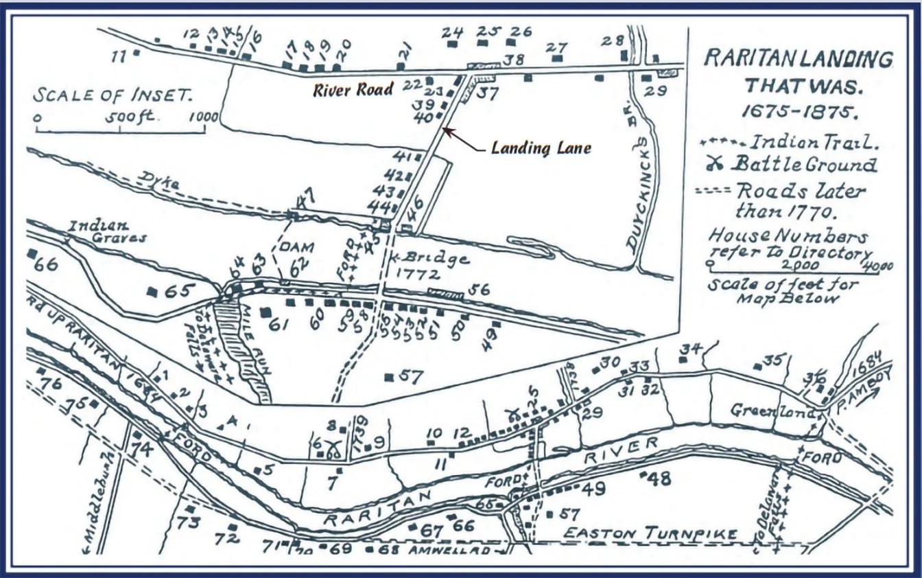
Just upstream from New Brunswick, on the Piscataway side of the river, Raritan Landing developed into an important colonial trading port.
By the eighteenth century, merchants used the Raritan to transport agricultural products and imported goods. Warehouses, roads, and commercial buildings rose along a riverfront that had long been valuable to Indigenous travelers.
The transformation was profound. A waterway that connected Indigenous communities became a commercial artery serving colonial expansion.
Today, archaeological investigations near Johnson Park have uncovered evidence of the colonial settlement. Beneath that history lies an older Indigenous landscape whose surviving traces are far less visible.
Franklin Township: Beyond the Riverbanks
South of the Raritan, present-day Franklin Township encompasses Somerset, Middlebush, Franklin Park, and surrounding communities.
Its fertile plains, forests, and waterways offered generations of Indigenous inhabitants opportunities for farming, fishing, hunting, and gathering.
Streams such as Six Mile Run connected the interior countryside with the Millstone and Raritan river systems. These waterways served as natural corridors through a landscape that Indigenous people understood long before colonial roads appeared.
Beginning in the seventeenth century, Dutch and other European settlers increasingly acquired land and established farms. Older patterns of Indigenous land use gave way to surveyed properties, mills, roads, and growing settlements.
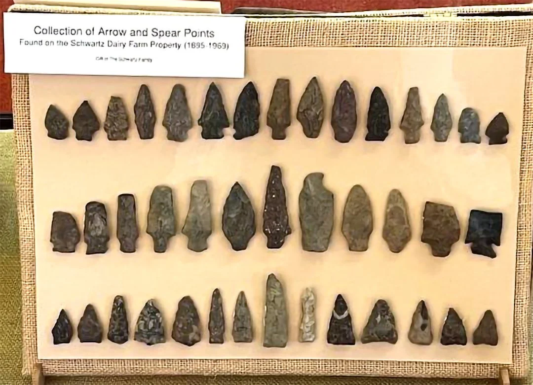
Yet the transformation of the countryside did not erase its earlier history. Beneath the farms and neighborhoods of Franklin Township lies evidence of a much longer human presence.
The Names That History Forgot
Across this region, colonial documents preserved the names of landowners, merchants, ferry operators, and officials. They recorded property lines, roads, and the growth of towns.
Far fewer records preserved the names of the Indigenous families who had lived along these waterways or the places they knew as home.
That silence does not mean the land was empty.
Lenape communities experienced displacement, maintained relationships across changing territories, and carried their identities and traditions forward. Their descendants belong to living Lenape nations today.
The River Remembers
Stand beside the Raritan today, near Rutgers, along New Brunswick's waterfront, or across the river in Highland Park, and the modern world seems to dominate the landscape.
Traffic crosses the bridges. Buildings rise beyond the banks. Roads and neighborhoods stretch across ground transformed almost beyond recognition.
Yet the river still follows its ancient course.
It passes places where Indigenous travelers approached the water, where families knew the changing seasons, and where pathways connected communities long before colonial maps divided the land.
New Brunswick became a city. Rutgers became a university. Piscataway and Franklin became townships.
But the river connected these places long before any of them had names on a map.
< previous town | next town 5/12 >