RaritanLenape.org > Lenape People / Stories > Lenape History, Town by Town > Long Valley, Tewksbury & Lebanon
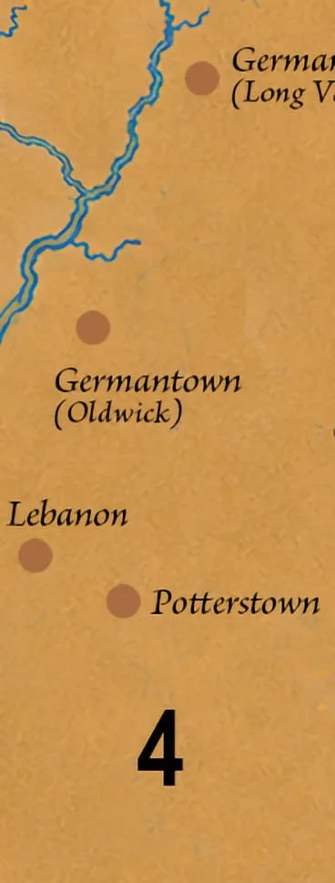
Long Valley, Tewksbury & Lebanon
Long Valley • German Valley • Oldwick • Pottersville • Lebanon • Califon • Cokesbury • Mountainville • Fairmount • Tewksbury

LONG VALLEY, TEWKSBURY & LEBANON BEFORE THE ROADS, BEFORE THE FARMS
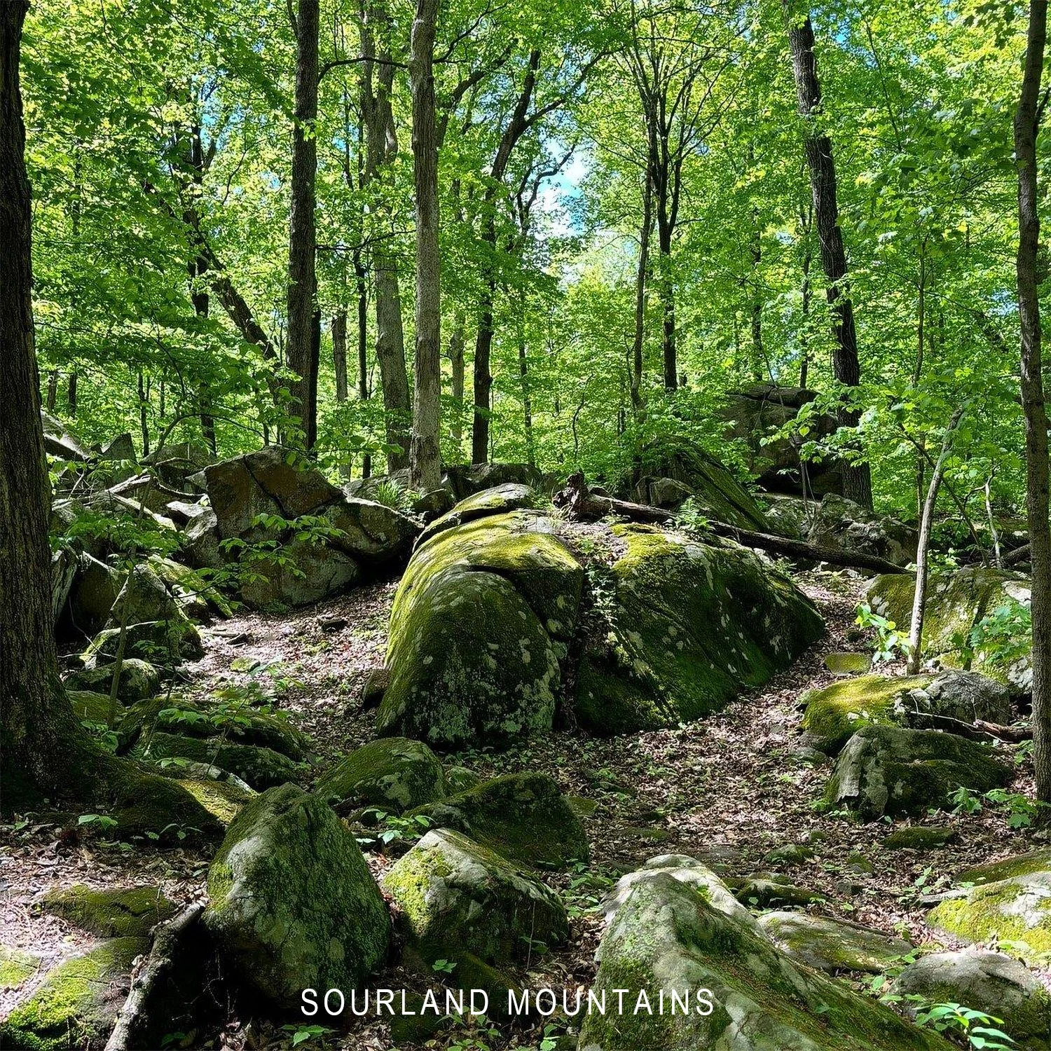
There are places in New Jersey where centuries of development have nearly erased the landscape that came before. And then there are places like Long Valley, Tewksbury, and Lebanon, where the rivers, wooded valleys, and ancient ridgelines still reveal something of a much older world.
For thousands of years, Indigenous people traveled these valleys, fished their streams, hunted in their forests, and established camps along waterways that connected them to the larger Raritan region.
The Lenape knew this landscape as part of their ancestral homeland, a country of familiar rivers, seasonal resources, and routes between neighboring communities.
The roads came later. The farms came later. The towns came later. Human history here was already ancient.
Long Valley: The River Before the Village
The South Branch of the Raritan River flows through Long Valley, creating a natural passage between the surrounding hills.
For Indigenous families, the river provided fish, attracted game, supported useful plants, and offered a route through the countryside. Its terraces provided relatively level ground for camps and other activities, while nearby forests supplied nuts, timber, wildlife, and materials for everyday life.
Above the valley rises Schooley's Mountain, known for the mineral springs that later made it a fashionable nineteenth-century resort. Local tradition holds that Lenape people knew of the springs and their reputed healing properties, although their specific Indigenous uses have not been firmly documented.
The modern village developed during the eighteenth century and became known as German Valley. In 1918, during World War I, its name was changed to Long Valley.
Names changed. Boundaries changed. But the river continued through a valley familiar to generations who lived here long before the first colonial survey.
Tewksbury: The Archaeology of Rockaway Creek
East and south of Long Valley, Tewksbury's wooded hills and narrow stream valleys preserve compelling evidence of Indigenous activity.
The North and South Branches of Rockaway Creek wind through the countryside before joining and flowing toward the Lamington River, part of the larger Raritan watershed.
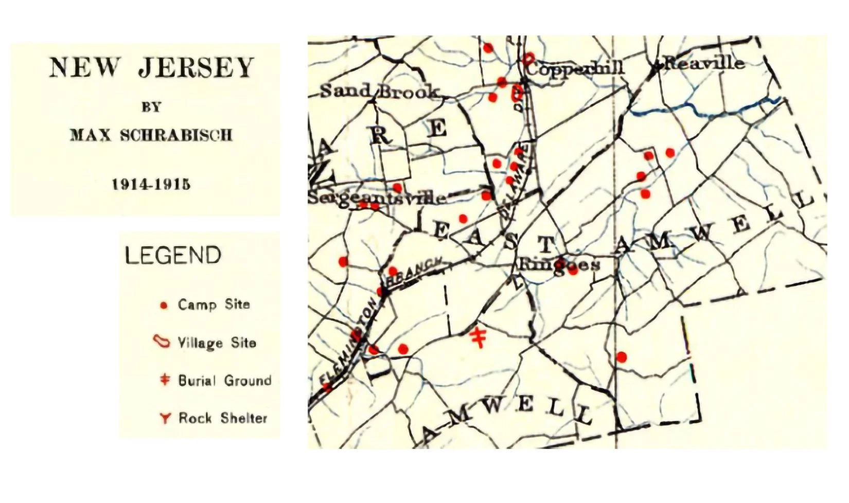
In 1917, archaeologist Max Schrabisch published Archaeology of Warren and Hunterdon Counties, documenting 35 Indigenous sites in the North Branch Rockaway Creek drainage and approximately 20 more in the South Branch drainage.
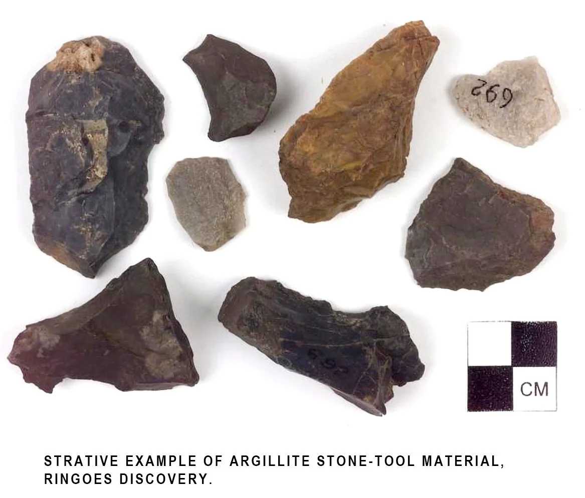
Many were small campsites. Others contained substantial concentrations of stone flakes and chips, evidence that people had manufactured or repaired tools there.
Schrabisch recorded sites around Mountainville, Fairmount, and Califon, with additional discoveries farther downstream. Near Whitehouse Station, one location contained enough stone-working debris to suggest a workshop. Another substantial site near the junction of Rockaway Creek and the Lamington River was considered a possible village.
Some discoveries represent Indigenous activity thousands of years before the historically documented Lenape communities, revealing a remarkably long history of human presence.
A stone flake may seem insignificant. Yet it can mark the place where someone sat and worked thousands of years ago.
Following the Valleys
The distribution of archaeological sites also offers clues about how Indigenous people moved through the region.
Schrabisch proposed that an Indigenous route followed the North Branch of Rockaway Creek southward toward its junction with the South Branch. Another possible route passed through the hills near Fox Hill and Lower Fairmount toward Pottersville.
Their exact courses remain uncertain, but the geography explains their importance.
In a landscape of steep slopes and rocky hills, stream valleys provided natural passages between camps, hunting grounds, and neighboring communities. Travelers familiar with the terrain could follow a creek, cross a ridge, and descend into another valley.
Farther west, Lebanon Township's wooded uplands and the tributaries of Spruce Run formed another part of this interconnected landscape. Spruce Run flows southward through the Glen Gardner area toward Clinton and the South Branch of the Raritan River.
Although Lebanon's rugged terrain was less suited to extensive settlement than broader river valleys, its springs, forests, and sheltered hollows offered resources and stopping places for people traveling through the hills.
Long before colonial roads connected these communities, Indigenous people knew the passages between their rivers and mountains.
When the Landscape Changed Hands
During the eighteenth century, European settlement transformed these valleys.
German-speaking settlers established farms in Long Valley. Agricultural communities developed throughout Tewksbury and Lebanon. Forests were cleared, fields enclosed, and mills built beside streams that had sustained Indigenous life for generations.
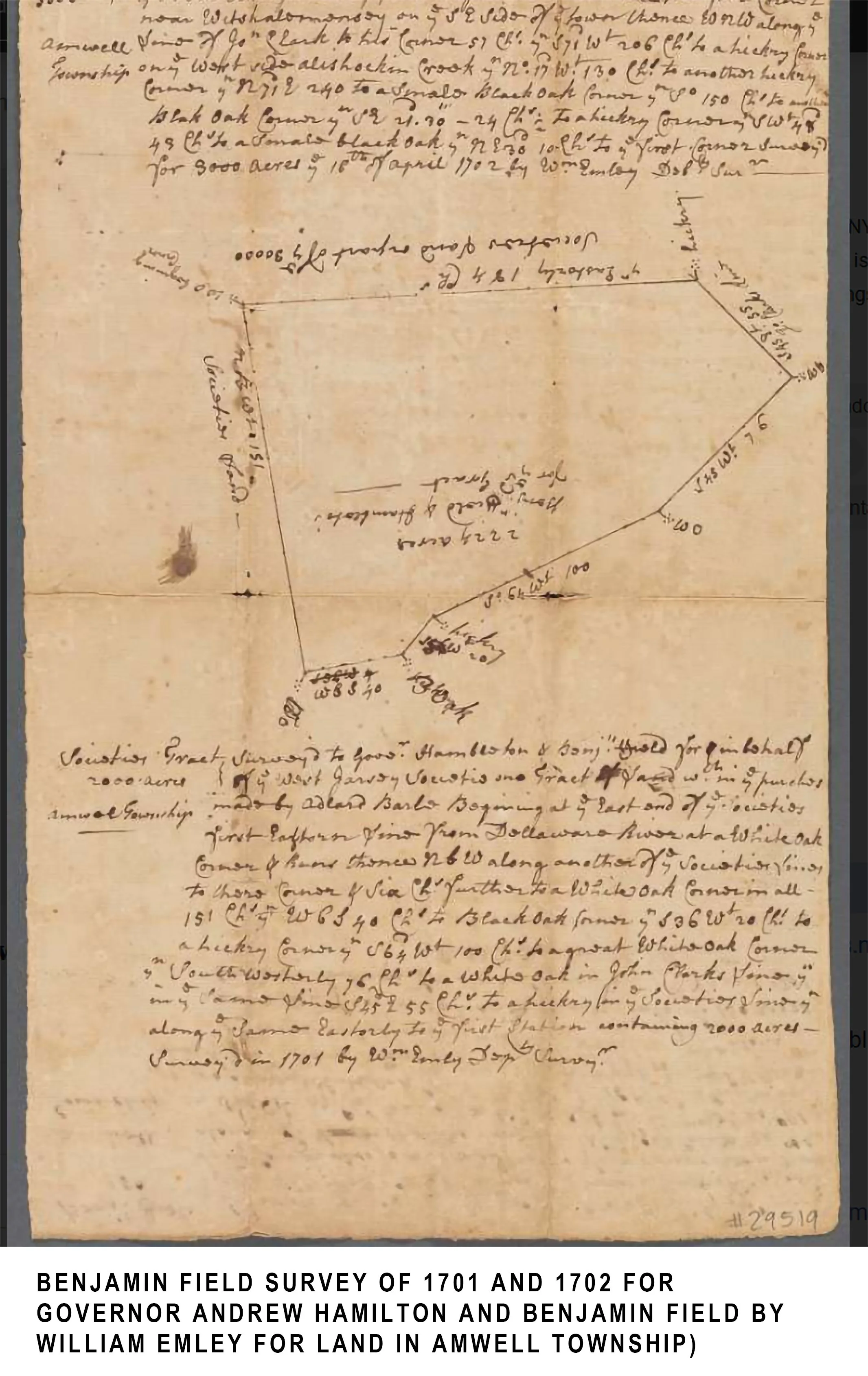
Colonial surveys divided the countryside into parcels identified by European owners. Deeds recorded land purchases and boundaries, while the surviving written histories increasingly followed the lives of settlers, farmers, and mill owners.
But those records tell only part of the story.
A deed can tell us when colonial ownership was recorded. It cannot tell us when human history began on that land.
The development of these communities unfolded within the broader dispossession of the Lenape. As colonial settlement expanded, Indigenous families faced increasing pressure on their lands and resources. Some relocated to other parts of their homeland or farther west, while others remained or maintained connections to the region.
Their descendants live today among the Lenape nations whose history reaches back to this landscape.
A Landscape That Still Remembers
Stand beside the South Branch in Long Valley, and the river still moves between the hills. Follow Rockaway Creek through Tewksbury, and its waters still wind past wooded slopes. Travel through Lebanon's uplands, and small streams still descend toward the larger Raritan watershed.
The old camps are no longer visible. Fields cover places where stone tools were shaped. Roads cross the valleys, and houses stand where forests once grew.
Yet the essential geography remains.
The rivers still reveal natural routes through the countryside. The springs still emerge from the hills. The valleys still offer shelter between the ridges.
These places are celebrated for their colonial farmhouses, stone walls, mills, and picturesque villages. But that history is only the most recent chapter of a much older human story.
The landscape did not begin with the first farms. Beneath the familiar beauty of these hills and valleys lies a far older history, one written not in deeds or town records, but in the ground itself.
< previous | explore the next town 4/12 >